
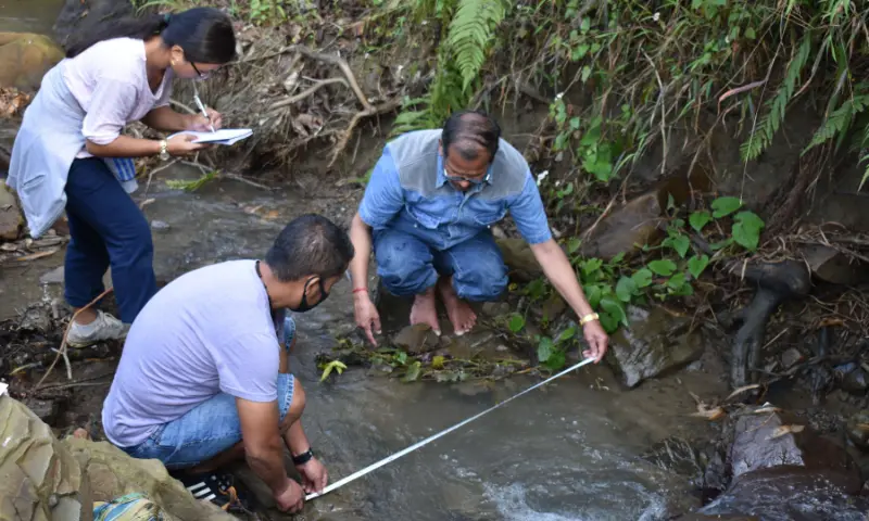

Dimapur: Researchers from Nagaland University and PNG Government PG College, Ramnagar, Nainital, have employed advanced Geographic Information System (GIS) modelling and remote sensing techniques to examine environmental change and degradation in Kohima district, offering fresh scientific insights into the fragile geo-ecological conditions of the North East Hill (NEH) region.
The study is expected to aid improved environmental monitoring, climate resilience planning, and sustainable development strategies in the region, as well as across the broader Indian Himalayan landscape.
The research addresses mounting concerns over environmental degradation in the Himalayan and NEH regions driven by both natural processes and anthropogenic pressures. These include rapid urbanisation, deforestation, shifting cultivation, and climate change, which collectively heighten risks such as landslides, floods, droughts, and extreme weather events.
Vice-Chancellor of Nagaland University, Jagadish K. Patnaik, said the institution had undertaken a significant initiative using GIS-based tools to map environmental degradation in Kohima. He noted that the study presents a comprehensive geospatial analysis capturing rapid land-use changes, emerging climate trends, and seismic vulnerability in the region.
Prof. Patnaik added that the findings offer critical inputs for policymakers, planners, and stakeholders, enabling more informed decision-making for sustainable development and effective environmental management in the NEH region.
The findings were published in December 2023 in Environmental Monitoring and Assessment, a peer-reviewed journal published by Springer Nature, according to an official release issued on Wednesday.
The paper was co-authored by Khrieketouno Belho and M.S. Rawat from the Department of Geography, School of Sciences, Nagaland University, along with Pradeep Kumar Rawat of the Uttarakhand Open University Study Centre.
The research received institutional support through a Non-NET Fellowship awarded to Belho by Nagaland University, as well as funding assistance from the Ministry of Tribal Affairs.
The study underscores the importance of evidence-based planning and sustainable land management in environmentally sensitive regions. By integrating geospatial technologies with environmental datasets, it provides a robust framework for understanding ecological risks and formulating effective climate adaptation strategies.