
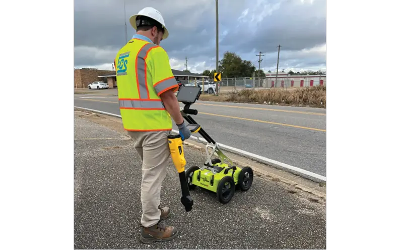

In a major step to control repeated damage to the underground infrastructure, the Pune Municipal Corporation (PMC) has now decided to map the utilities under roads before the excavation work begins they will utilize Ground Penetrating Radar (GPR) technology.
This step took place after a series of incidents happened across the city where digging activities have damaged water pipelines, electricity cables, gas lines, drainage systems, and internet networks due to the lack of accurate underground data.
At this moment, multiple government and private agencies have undertaken road excavation after gaining PMC permissions. However, in the absence of proper utility maps, Digging is usually done without proper information, so workers keep trying different spots, which often causes damage and creates safety risks.
In the recent time, areas including Baner, Wakad, Kothrud, Hadapsar, Aundh, and Viman Nagar have witnessed many such incidents like:
These list of problems show that a better and more correct method is needed urgently.
Ground Penetrating Radar (GPR) technology uses radar signals to detect and plan underground utilities without digging. By identifying the exact location of pipelines and cables in advance, authorities can:
If officials are to be believed than by adopting GPR technology, it can bring greater efficiency, accountability, and planning to roadwork projects in Pune.
This step is expected to reduce problems for citizens and help the city use better technology for managing its infrastructure.