


An unusual spell of weather is set to impact large parts of North India on Thursday and Friday, as a strong western disturbance moves across the region, bringing rain, thunderstorms, snow and a noticeable dip in temperatures.
According to forecasts, regions, including Delhi NCR, Chandigarh, Haryana, Punjab, Rajasthan and Uttar Pradesh are likely to witness moderate to heavy rainfall accompanied by thundershowers on March 20.
Daytime temperatures are expected to drop significantly, with maximum temperatures ranging between 18°C and 24°C-conditions more typical of January than late March.
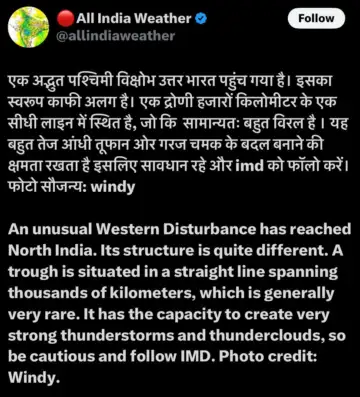 Meteorologists have also warned of strong thunderstorm activity due to the system's unusual structure. The current Western Disturbance features a long, linear trough extending across thousands of kilometres-an uncommon formation that can intensify cloud development and trigger severe weather events.
In the higher reaches, heavy snowfall is predicted.
Weather experts have advised residents to stay alert, as sudden changes in weather, including gusty winds and lightning, could pose risks. Authorities recommend following updates from the India Meteorological Department for the latest advisories.
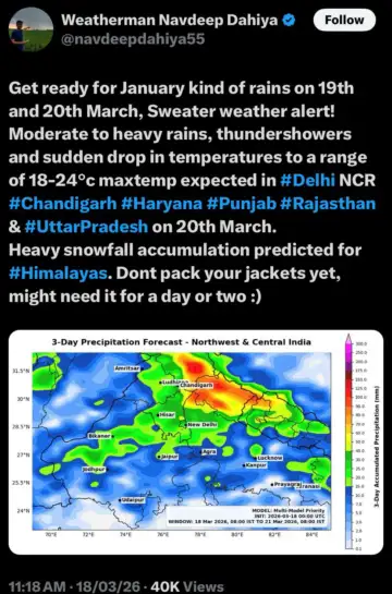
The unexpected return of cool conditions has prompted a "sweater weather" alert, with many residents advised not to pack away winter clothing just yet. While the spell is expected to be short-lived, lasting a couple of days, it serves as a reminder of the variability of transitional weather patterns in northern India.